Google Maps 3D
Blog post created on 2014-11-07
Google has done many good and bad things over the years and one would rightly say their search engine is definitely their best software. I would argue, however, that Google Maps is a very close up second.
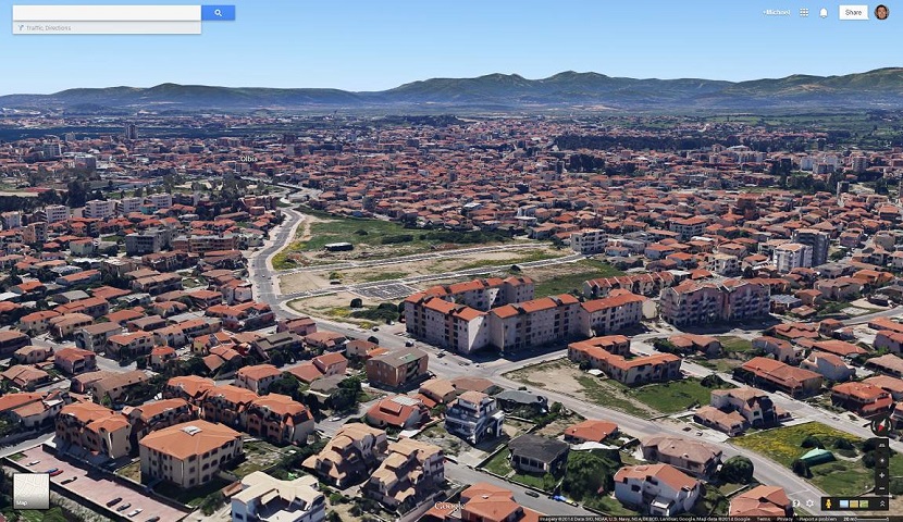
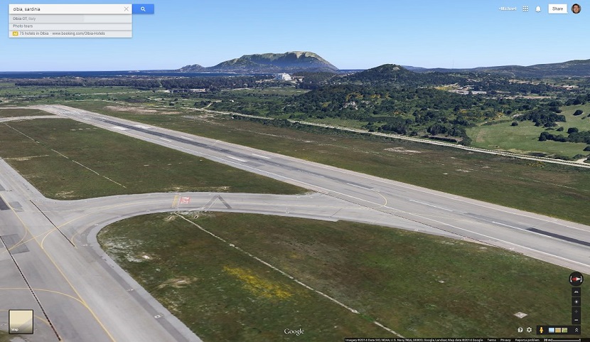
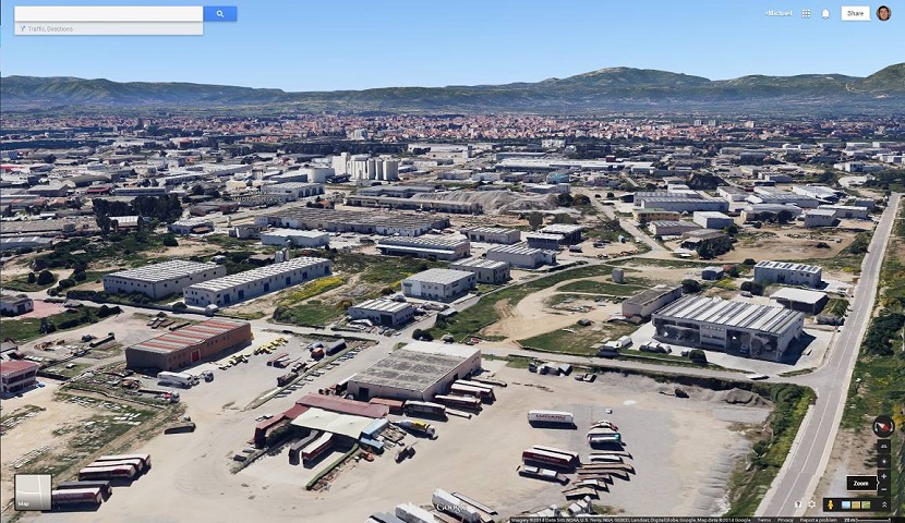
You know something is good when you remain in awe. You know something is really good when an expert in the matter remains in awe. That is how I feel about Google Maps. Although I am not an expert in computer mapping in any way whatsoever I know how to program, and I can only imagine how complicated a software like Google Maps might be. Kudos to the developers. A somewhat now old feature brings it to a new level: 3D rendering.

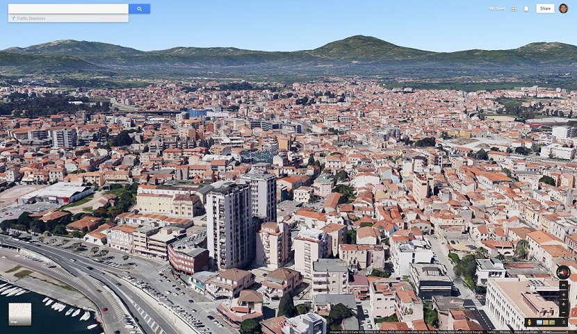
3D renderings are not available everywhere and I would assume aerial scanning is required from a helicopter or similar. That may also be the reason why my current town, Bath (UK), does not have 3D rendering, whilst my home town, Olbia (Italy) has it.
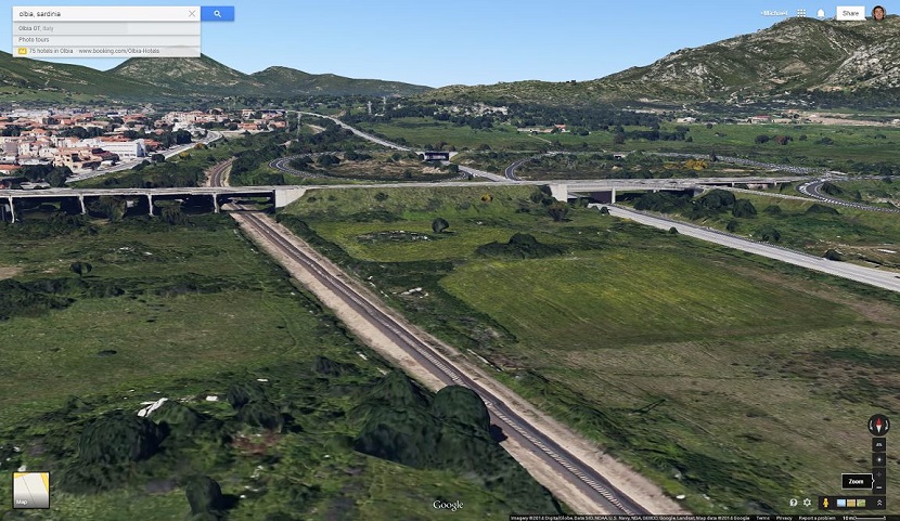
The detail is spectacular and in most cases you can distinguish cars, trees and lorries. Even more spectacular is how the software recognises bridges and leaves a "gap" where required as in this image:
The cherry on the cake: it all runs from the browser. Head over to Google Maps and enter satellite view. After, simply zoom into a compatible city (e.g. New York) and press once or twice the tilt button which you can find at the bottom right corner of the screen right under the compass. For a large city like New York loading times may be a little long whilst more and more detail is added but the end result is worth the wait.
I can only hope one day to be able to understand the technology (and the mathematics) that are needed. For now I can enjoy the view.